NextGIS has successfully wrapped-up an educational fire monitoring project, created and coordinated in collaboration with Microsoft. Supported by several organizations that specialize in fire monitoring: R&D Scanex; IKI RAS; Greenpeace Russia; Transparent World; and the University of South Dakota, USA, the project’s main goal was to expose entry-level specialists to monitoring wildfires using remote sensing data. The project was conducted on a GIS-Lab.info platform – a leading practical portal for GIS and RS-related questions in Russia.
Some of the main results included:
- The creation of 10 manuals about how to get, import, and process fire data (details)
- The creation of a data base in several Russian-language publications about the monitoring of wildfires using remote sensing data
- The collection and organization of UN Forest Fire Statistics (details)
- Advocacy for and the gathering of sets of open geodata from project partners (details)
- A student papers competition on the topic
Full description of the project is available on GIS-Lab.info website.
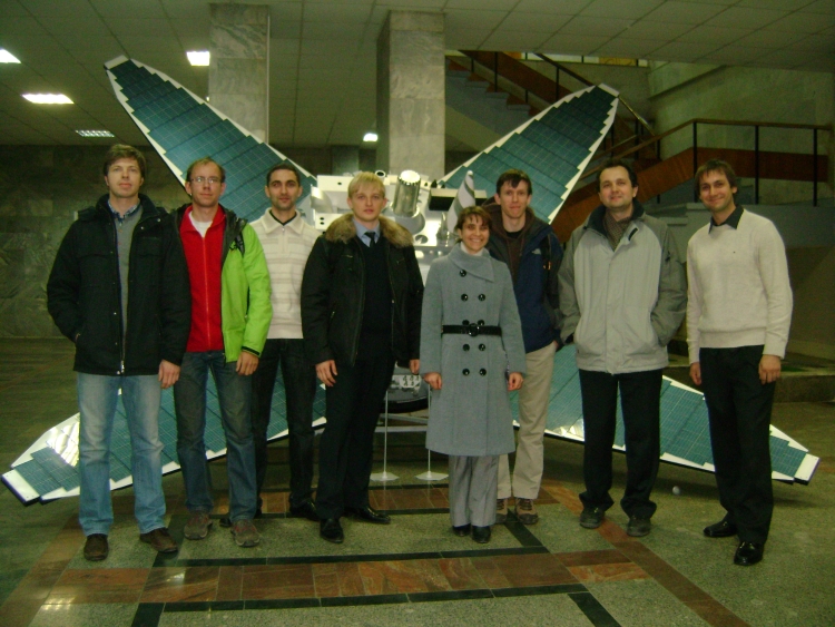
Competition participants at the conference in IKI RAS