We’re happy to announce that DTClassifier is back. We’ve made many smaller improvements, but most importantly, DTClassifier can now work under QGIS 2.8 and above.
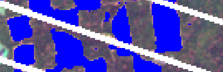
DTClassifier is an image classification tool that uses computer vision OpenCV implementation of powerful classification algorithm – decision trees (and random forests) and can be used to identify any type of objects on remote sensing images. DTClassifier was build with simplicity in mind and one needs only to add image data and select areas of interest/no interest. DTClassifiers will take care of the rest.
Video 1 – Finding areas of interest throughout one image.
There are three ways to get DTClassifier:
- you can download the libraries for Windows;
- compile it yourself from the code
- or use our NextGIS QGIS build, which comes with DTClassifier embedded.
Full-length article on DTClassifier can be found at GIS-Lab.
Video 2 – Finding changes using two images.